

本文
The History and Geography of Itoigawa
History
On March 19, 2005, the city of Itoigawa and the towns of Nou and Omi were consolidated, and a new “Itoigawa” was formed.
Benteniwa
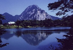
Takanaminoike and Myojyosan
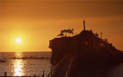
Oyasirazu
Geographical Features
Itoigawa is located at the western-most edge of Niigata Prefecture, where it meets with Nagano Prefecture to the south and Toyama Prefecture to the west.
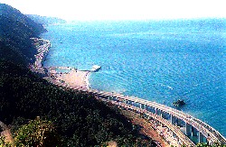
In the city region are the Chubu Mountains (中部山岳) and the Myoko Togakushi Mountainranges (妙高戸隠連山) National Parks、the Oyashirazu-Koshirazu (親不知子不知) Prefectural Nature Park and the Kubiki (久比岐) and Hakubasanroku (白馬山麓) Prefectural Nature Parks.Each is blessed with rich, unique natural resources like seashores, mountains, canyons and hot springs that enrich the region’s culture.
Also, the region is rich in such things as forest resources, mineral resources of jade and grade limestone, and the academic resources of the “Fossa Magna” that has hidden within it the mysteries of the formation of the Japanese archipelago.
Area Population Number of Households, etc.
| Location | east longitude137゜52′north latitude37゜02′ |
|---|---|
| Area | 746.24 km2 |
| Population | 48,133people(men 23,265people、women 24,868people) |
| Number of Households | 17,713 |
*Population and number of households as of 4/1/2011.
*The area represents 5.93% of the total area of Niigata Prefecture, more than the total area of all of Tokyo’s 23 wards combined.
*92.7% of the region consists of mountains and forests, while others account for the rest.
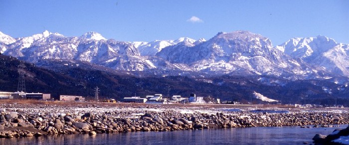
A commanding view of the Myoko Togakushi Mountaintanges (妙高戸隠連山) National Park from the Hime River (姫川)
Access to Itoigawa